Project Description
Status
Completed
Project Start
2023
Project Completion
2025
Address
Kadamzhai
Amount of work completed
5.13 km
Total Canal Length
31 km
Irrigated Area
6,300 ha
Design Capacity
9.0 m³/s


Rehabilitation and Modernization of a Main Irrigation Canal
The “Kozho-Kaiyr” main canal in Kadamzhai district, Batken region, has been rehabilitated and modernized to supply irrigation water to agricultural land in the area.
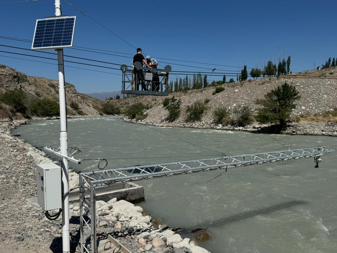
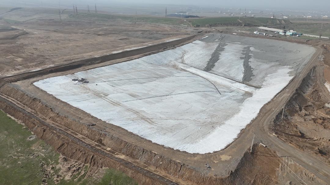
Site photos
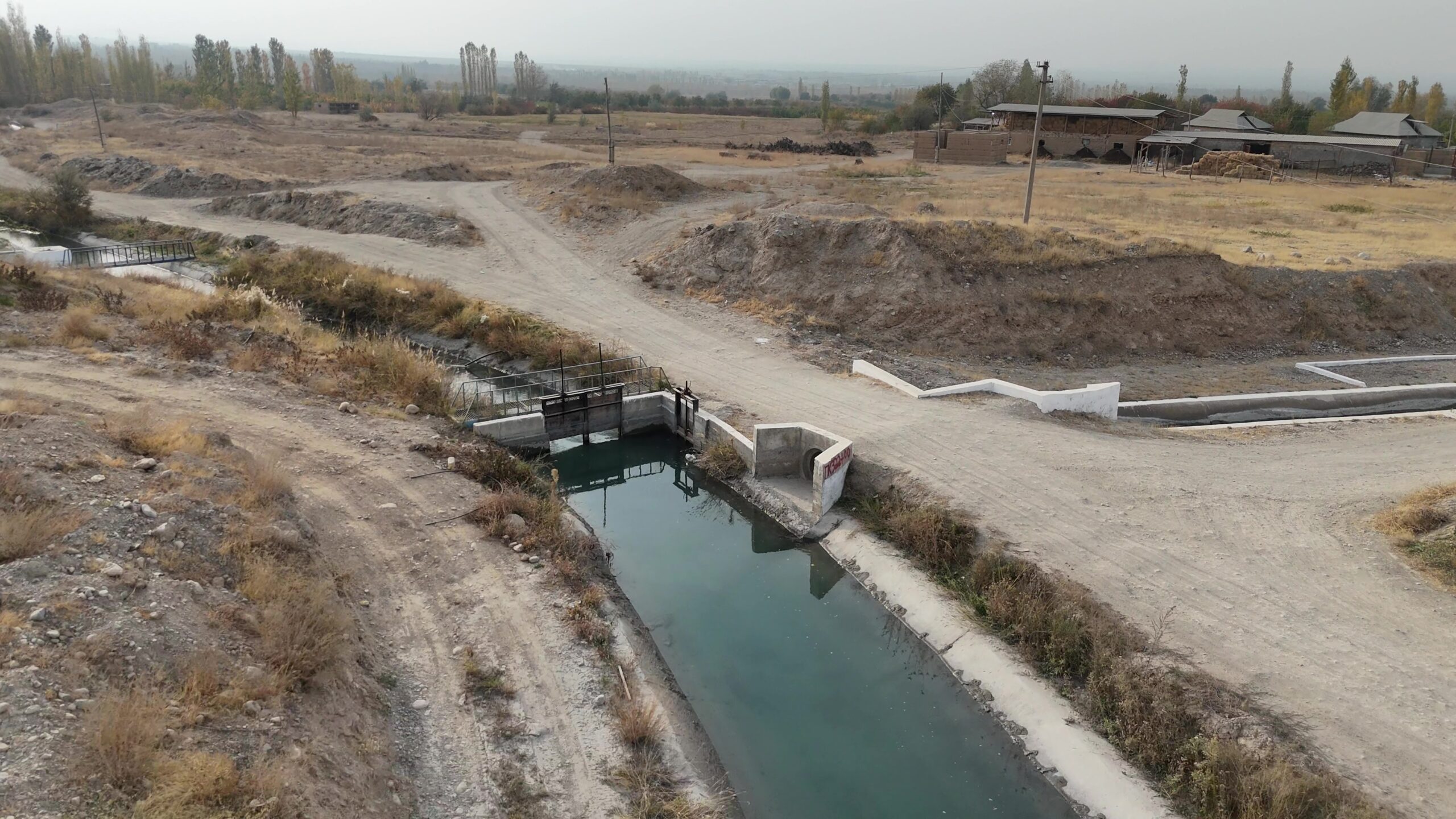

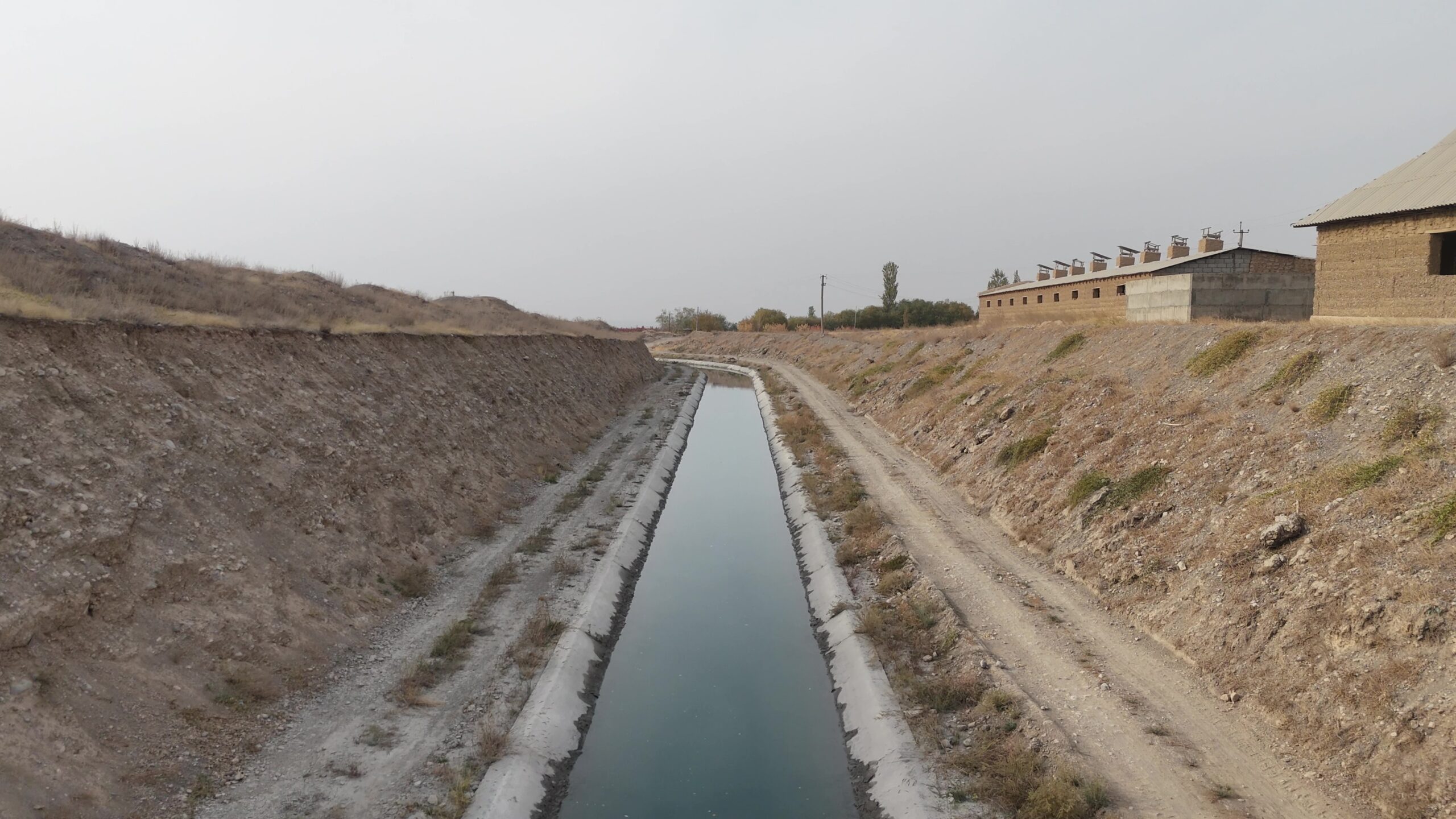

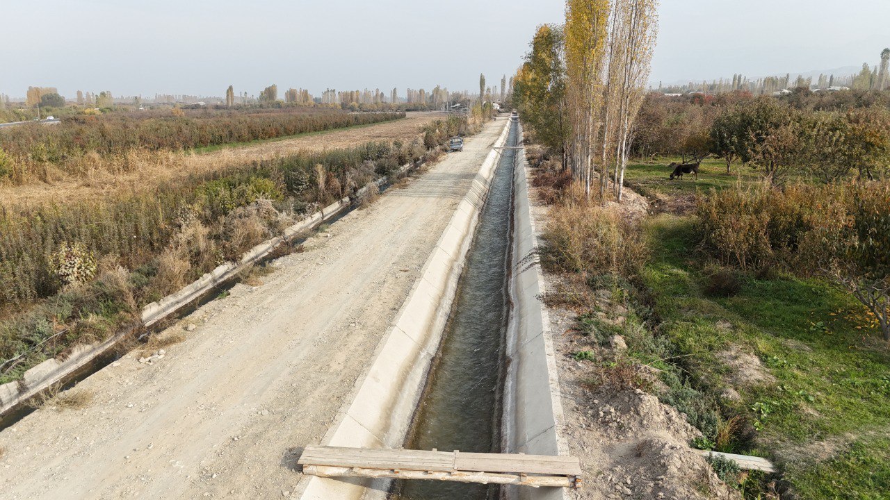

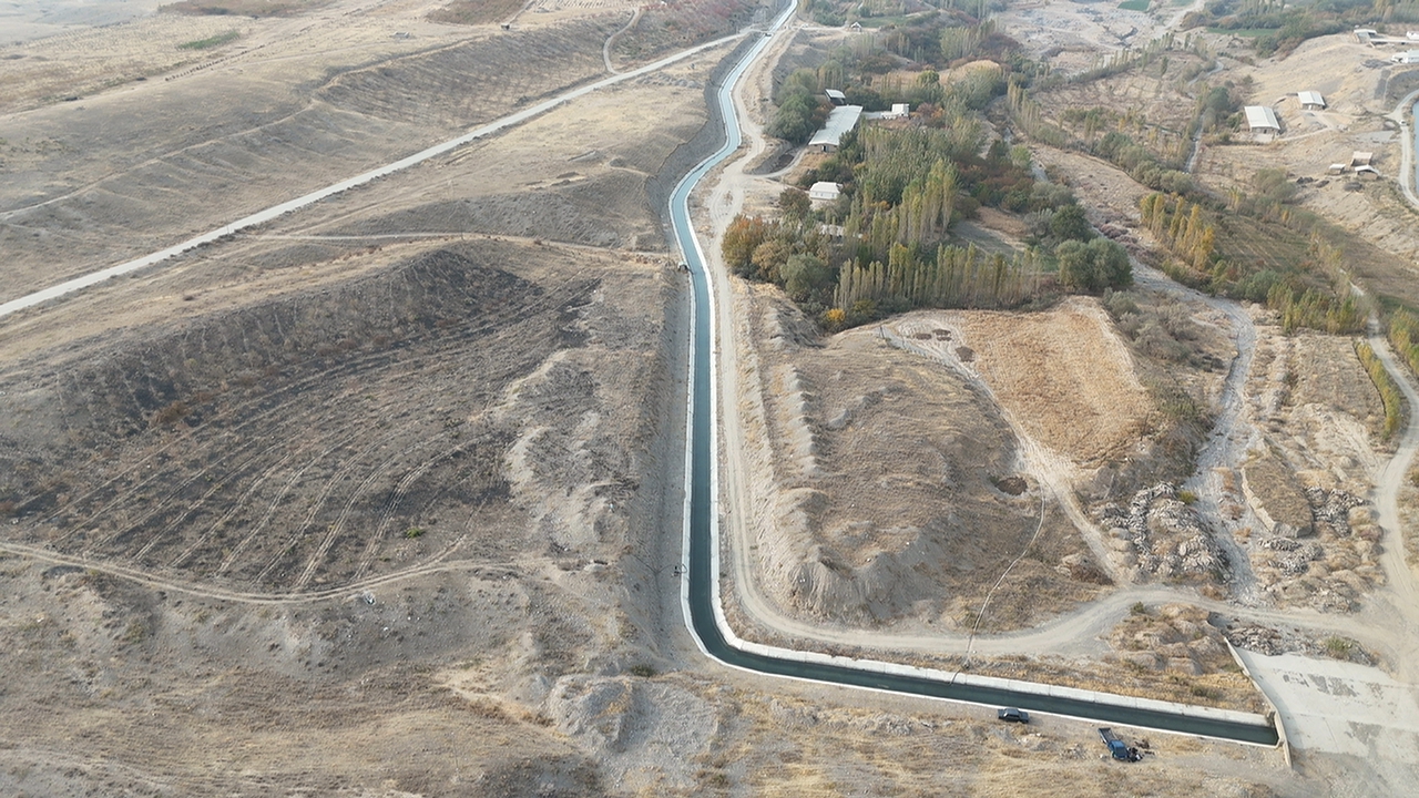
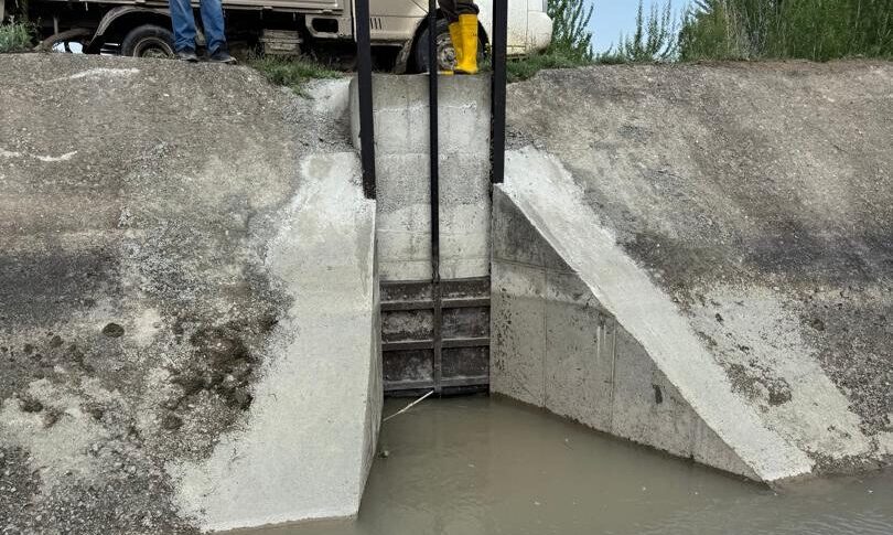
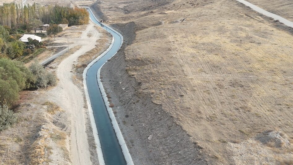
5.13 km of Irrigation Infrastructure
The “Kozho-Kaiyr” canal is located in Kadamzhai district, Batken region, roughly 100 km from Osh, running at elevations of 900–1,050 meters above sea level. Its head structure is located in the village of Valakish.
The canal has a trapezoidal cross-section and supplies water to 6,300 hectares of irrigated farmland, with a design peak capacity of 9.0 m³/s.
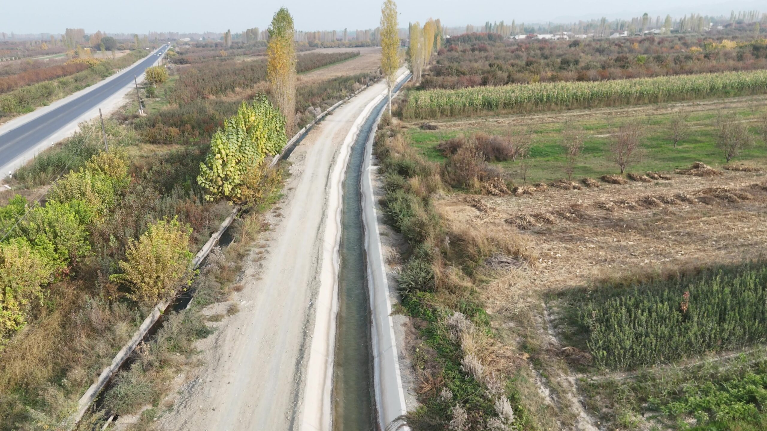
Key Works Completed (Lot 2)
Lot 2 covered the reconstruction of three canals:
- Kozho-Kaiyr Canal — 3,261 linear meters
- R-2 Canal — 579 linear meters
- R-14 Canal — 1,293 linear meters
Total for Lot 2: 5,133 linear meters
Actual completed volumes fully match the design figures across all three canals.
The project restored sections of concrete lining and modernized the canal’s hydraulic structures, reducing water losses by stilling geomembrane, improving system reliability, and strengthening water resource management.
Canal Efficiency
0.65 → 0.83
+27.7%
expected improvement in the canal’s efficiency coefficient following reconstruction.
Key Works Completed
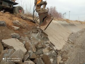
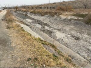
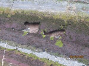
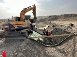
Route Preparation / Dismantling of the Old Canal
Site and route preparation for the new canal alignment.
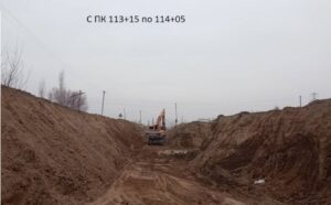
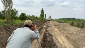
Earthworks
Excavation and grading of the canal to form the design profile.
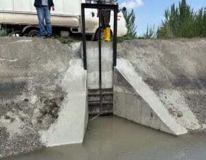
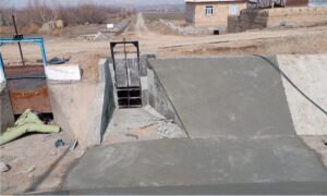
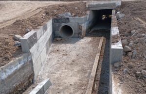
Hydraulic Structures
Canal Construction
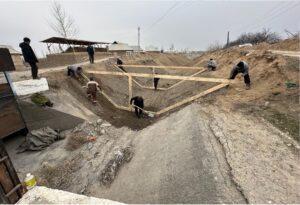
Formation of the trapezoidal cross-section and installation of the canal’s structural elements.
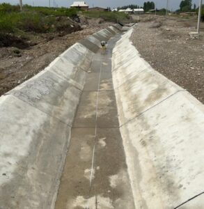
Completed Facility
The finished canal section is now part of the irrigation system.
Heading: Project Scale
31 km — canal length
5.13 km — amount of work completed
6,300 ha — irrigated area
9.0 m³/s — design capacity
30 — water outlets
10 — hydrological posts
2.28 km — rockfall/landslide protection sections